by
zopemaster
—
published
Jul 14, 2005
—
last modified
Jul 07, 2021 01:05 AM
—
filed under:
natural hazards,
nature,
nature monitoring,
nature
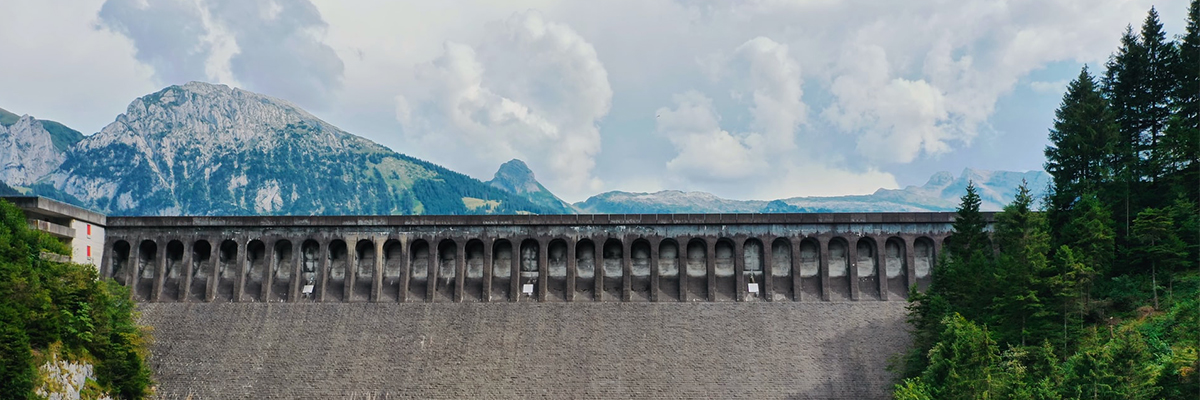
Satellites are to be used in a bid to improve the risk management of landslides, avalanches, mudslides and floods in Alpine regions. This is the objective of the latest ASSIST (Alpine Safety, Security and Informational Services and Technologies) research project, which is currently being launched as part of the European "Global Monitoring for Environment and Security" (GMES) initiative.
Located in
News